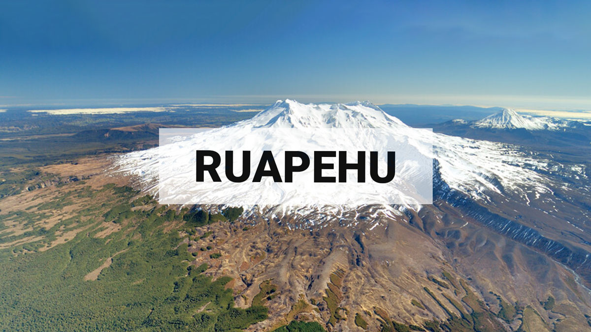
Unusual style of earthquake activity continues at Mt Ruapehu, no changes in overall volcanic activity. The Volcanic Alert Level remains at 1.
Although the unusual earthquakes have continued under Mt Ruapehu, our other monitored parameters have not changed. We continue to measure low-moderate volcanic gas emissions, a slow decline in lake temperature and water level. The last gas flight, Crater Lake water and gas analysis, and visual observations show no changes. A sudden eruption at Mt Ruapehu remains very unlikely. The Volcanic Alert Level remains at 1 and the Aviation Colour Code at Green.
The uncommon style of small earthquakes recorded at shallow (1-2 km) depths under Mt Ruapehu and reported in our last bulletin, continue to occur. The number of earthquakes per day has decreased from the high seen in late March, and they remain small and difficult to identify, with only the larger events detected by our automatic systems. Over the last month, we have seen up to eight of these earthquakes a day, while now they amount to 0-6 per day.
As the earthquakes do not typically last more than 10 minutes, they do not categorise as volcanic tremor, which remains low at Ruapehu. The earthquakes are also quite different in appearance from volcanic tremor traditionally seen at Ruapehu.
Te Wai ā-moe (Crater Lake) temperature continues a slow decline. Currently the lake temperature is 22 ºC, down from a peak of 31 ºC on February 14. The lake water level is also slowly declining, likely reflecting less melt water as air temperatures fall. The interpretation of gas and water samples from the lake show data consistent with cooling of the hydrothermal system formed by the lake and minor heating of the deeper system. The DOAS gas detection network has seen gas output increase slightly but remains in the low-moderate range for Mt Ruapehu.
In summary, earthquake activity beneath Ruapehu remains slightly higher than usual. This is influenced by the occurrence of the unusual events - noting these have decreased in number per day. Volcanic tremor levels remain low. The laboratory results from the gas samples indicate heating processes in the deeper parts of the system, and cooling within the shallow part, these being typical of the Ruapehu system. Our conceptual model has partial sealing occurring in the hydrothermal system beneath the crater lake, which in turn modulates the flow of gas and heat to shallower levels. Fracturing of the sealed area can be reflected as earthquakes and/or volcanic tremor. We are seeing low-moderate gas volumes passing through the lake presently, indicating paths are open.
Changes to the lake colour may occur if more/less disturbed sediment is suspended in the lake, leading to a change in the tone of the grey colour. The size and shape of the upwelling areas may also change. All of this is consistent with ongoing volcanic and hydrothermal processes and the overall low level of volcanic activity at Mt Ruapehu. A sudden eruption at Mt Ruapehu remains very unlikely.
Monitoring indicators remain consistent with a low level of volcanic activity. As a result, the Volcanic Alert Level remains at 1. The Aviation Colour Code remains Green.
More Information:
Mt Ruapehu is an active volcano and has the potential to erupt with little or no warning when in a state of minor volcanic unrest.
The Volcanic Alert Level reflects the current level of volcanic unrest. The Volcanic Alert Level should not be used to forecast future activity.
Volcanic Alert Level 1 indicates the primary hazards are those expected during volcanic unrest: steam discharge, volcanic gas, earthquakes, landslides, and hydrothermal activity. While Volcanic Alert Level 1 is mostly associated with environmental hazards, potential for eruption hazards also exists and eruptions can still occur with little or no warning. Volcanic Alert Levels 3, 4 and 5 are reserved for eruptions with varying impact distances.
For information on access to the Mt Ruapehu area, please visit the Department of Conservation’s website on volcanic risk in Tongariro National Park and follow the DOC Tongariro Facebook page for further updates.
For information about responding to volcanic activity there are guidelines from the National Emergency Management Agency.
GNS Science and its National Geohazards Monitoring Centre continue to closely monitor Mt Ruapehu for further changes.
Brad Scott
Duty Volcanologist
Media Contact: 021 574 541 or media@gns.cri.nz