70th Anniversary of the Tangiwai Railway Disaster
Today in history: 24 December 1953 at 10:21pm, Mt Ruapehu’s crater lake outlet collapsed sending a dam-break lahar down the mountain and causing the Tangiwai rail disaster.
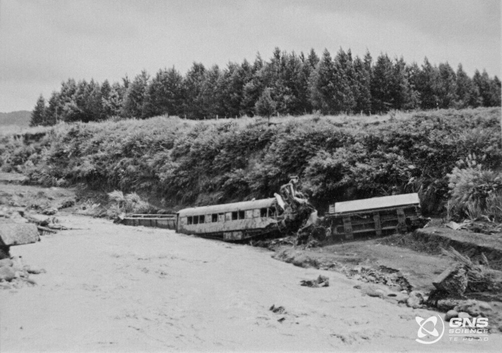
The lahar surged into the Whangaehu River weakening the river rail bridge, only minutes before the Wellington–Auckland night express train was due to cross.
The rail bridge buckled under the train, and the front carriages plunged into the flooded river, killing 151 of the 285 people on board. To this day, the Tangiwai rail disaster remains one of Aotearoa New Zealand’s worst disasters – yet no eruption occurred on that day.
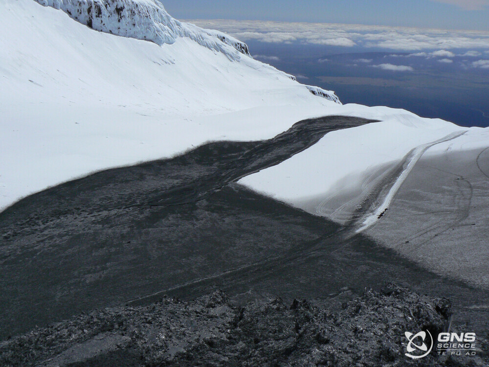
The dam that collapsed on that day was formed by material (tephra) that accumulated around the crater during eruptions years before, causing the water level to rise in the crater lake (Te Wai ā-moe). The collapse occurred spontaneously that day – not because of an eruption – simply because it could not withhold anymore the pressure of the lake. There are currently no such tephra dams at Ruapehu, meaning much lower chances of dam break and non-eruptive lahars in the Whangaehu River.
Over the years, lessons from eruption impacts and dam breaks have led to improvements on the mountain and in the wider area. Bridges have been raised and built strong enough to withstand the force of a lahar, and monitoring equipment was installed to give advance warning to road, rail, and other infrastructure. A system to detect eruptions is also in place on the ski fields.
Monitoring Mt Ruapehu is done in partnership with the Department of Conservation and the volcano, along with all geohazards in Aotearoa New Zealand, is monitored around-the-clock by our National Geohazards Monitoring Centre / Te Puna Mōrearea i te Rū.
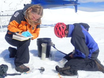
Keeping a close eye on Mt Ruapehu we have three web cameras, 10 seismographs and six microphones which detect volcanic explosions. Nine GNSS stations around the volcano record ground deformation, A network of continuous gas emission detectors allow us to monitor the amount of SO₂ the volcano produces and volcanologists sample water and gas from the crater lake (Te Wai ā-moe) and airborne gas.
Learn more
Watch: a short video on how we monitor volcanoes in Aotearoa New Zealand
View: our volcano cameras on Ruapehu
Read: A look back at the 2007 Mt Ruapehu eruption
Listen Tangiwai: A Forgotten History Podcast: Volcanologist Brad Scott speaks on episode 2 "What If"
Visit: GNS page on New Zealand's Volcanoes
Planning on visiting Mt Ruapehu?
Find out more about Mt Ruapehu and other New Zealand volcanoes here.
For information on access to the Mt Ruapehu area, please visit the Department of Conservation’s website on volcanic risk in Tongariro National Park and follow their Facebook page for further updates.
You can read all of our Volcanic Activity Bulletins here.
Although we can’t prevent natural hazards, we can prepare for them – and we should.
The National Emergency Management Agency's (NEMA) Get Ready website has information on what to do before, during and after volcanic activity.
During volcanic activity, follow official advice provided by your local Civil Defence Emergency Management Group, the Department of Conservation (for visitors to the Tongariro and Taranaki National Parks), local authorities and emergency services.
Prepare your home. Protect your whānau.
There’s a lot we can do to make our homes safer and stronger for natural hazards. Toka Tū Ake EQC’s website has key steps to get you started.
Media contact: 021 574 541 or media@gns.cri.nz


