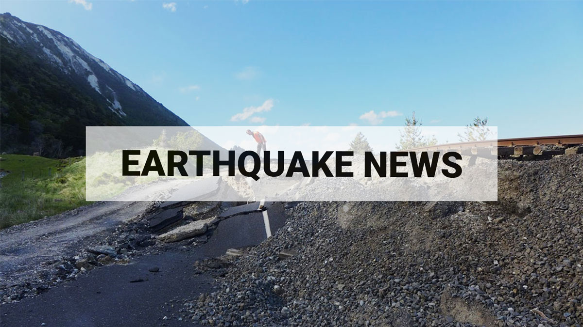
Strong Quake Shakes Central South Island
Updated: Wed Sep 20 2023 7:50 PM
A magnitude 6.0 earthquake with strong shaking has occurred at 9:14am on Wednesday 20 September. The earthquake was 11km deep and located within 45km north of Geraldine and felt widely throughout the Canterbury region.
We received over 14,000 felt reports for the M6.0 earthquake, as shown below:
Quake was centered in the Rangitata Gorge area where two identified active faults meet – the Ben McLeod Fault and the Lake Heron Fault. As the magnitude was relatively small for a major fault, it was probably on a subsurface fault between those two known faults.
This area has no known historical quakes above M5.0. The nearby large faults are estimated, from landform evidence, to have each ruptured several times in the recent geological past (within the last 18,000 years), but not since European records began.
The epicenter of today’s earthquake lies South-east of more active regions, and 70km from the Alpine Fault.
Shaking Layers
Our newly released public Shaking Layers maps illustrated the intensity of ground shaking caused by this event around the country.
By midday on 20 Sept we had received 382 'Felt Detailed' felt reports and they have now been included in Shaking Layers. You can view this map here, the reports are the circles.
Aftershocks
As at 7:25pm on 20 Sept, we have located 51 aftershocks following the M6.0 at 9:14am, the largest of which have been an M3.8 at 1:18pm and an M3.6 which occurred at 9:25am.
What Next?
When an earthquake occurs there is always a small possibility that a larger earthquake will follow, however the most likely scenario is that there will be a number of smaller aftershocks which will taper off with time. Given the earthquake’s more remote location, many aftershocks will not be felt by people and will only be recorded by our seismometers.
So far, the aftershocks of the magnitude 6.0 earthquake in Rangitata Gorge are mostly occurring in a tight cluster within ~6km around the mainshock.
Earthquake Forecasts
Our scientists create earthquake forecasts following a larger earthquake, read more on how and why we make earthquake forecasts here.
Our forecast following the M6.0 earthquake in Rangitata Gorge is displayed in the table below and covers an area with about a 15 km radius around the M6.0 earthquake. This forecast starts at 9pm, Wednesday 20 September 2023; the ranges provided indicate 95% confidence bounds of the forecast numbers. Numbers in the forecast do not include earthquakes that occur before that time. The forecast is calculated from aftershock models of average behaviour of earthquake sequences in New Zealand.
For example, the table above shows that there is a 24% chance of one or more M5.0-M6.0 within the next 7 days. We estimate there will be between 0 and 2 earthquakes in this magnitude range within the next month.
We will keep this news item updated as we have more information to share.
All right?
We understand that some people might find earthquakes unsettling. The All Right? website has great resources where you can read and talk about any concerns that you have.
Remember in an earthquake to Drop, Cover and Hold

Remember Long or Strong, Get Gone : If you are near the coast and feel a strong earthquake that makes it hard to stand up OR a weak rolling earthquake that lasts a minute or more move immediately to the nearest high ground or as far inland as you can, out of tsunami evacuation zones.
Know what to do?
The National Emergency Management Agency (NEMA) has a great website with information on
what to do before, during and after an earthquake.
Has your property suffered damage?
If you’ve got damage from the recent earthquake, care for your whānau’s safety first, take photos of any damage,
and call your private insurer. Find out more about insurance and claims on the
Natural Hazards Commission Toka Tū Ake website.
Media Contact: 021 574 541 or media@gns.cri.nz


