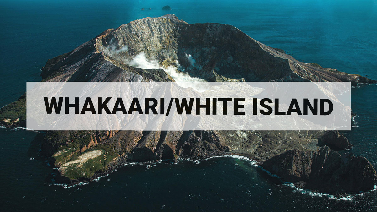
Whakaari/White Island: Volcanic Alert Level raised to Level 2 due to loss of real-time monitoring capability and increased uncertainty.
The recent loss of access to continuous data from Whakaari/White Island means we are effectively unable to distinguish in near real-time between VAL 1 (minor volcanic unrest) and VAL 2 (moderate to heightened unrest). As a result, the Volcanic Alert Level for Whakaari/White Island has been raised to Level 2, not as an indication of a noticed increase in volcanic activity, but as a reflection of the increased level of uncertainty in our interpretation due to the current lack of real-time data.
In addition to conducting regular observation flights and airborne gas measurements, our volcano monitoring capability strongly relies on real-time data collected by permanent instrumentation on volcanoes across New Zealand. The recent loss of real-time access to the data from our last operating earthquake and pressure sensor at Whakaari/White Island has further reduced our ability to closely monitor the level of unrest. We are now effectively unable to distinguish in near real-time between Volcanic Alert Level (VAL) 1 (minor volcanic unrest) and VAL 2 (moderate to heightened unrest), in between our monitoring flights. Therefore, we are raising the VAL to Level 2, not due to a noticed increase in activity, but to acknowledge the greater level of uncertainty in our interpretation due to the current lack of real-time data. We feel this prudent approach more accurately reflects the level of uncertainty about what might be happening undetected at Whakaari/White Island because we do not have this critical real-time data.
Until we are able to service our on-island equipment and power supplies, we will be increasing the frequency of our gas and observation flights to the island. We also still have intermittent access to webcams images from the island, providing some level of visual monitoring between our flights.
Our most recent observation flight (31 August 2022) indicates the level of activity at the island had remained low, with normal fumarole and gas emissions. Atmospheric conditions have produced tall steam and gas plumes above the island in the morning some days, sometimes visible from the coast.
These observations are consistent with generally low levels of volcanic unrest. However, due to the uncertainty about the level activity on island between our flights, the Volcanic Alert Level is raised to Level 2 and the Aviation Colour Code also changes to Yellow.
The monitoring network at Whakaari has consisted of two sites with earthquake and pressure sensors (to detect explosive airwaves), three cameras, two SO2 (sulphur dioxide) gas scanners and two GNSS antenna for measuring ground deformation. Since the 9 December 2019 eruption, the on-island network has not been serviced and power supplies, sensors and cameras have degraded or failed over time. Our near real-time capability has been largely reliant on the on-island earthquake and pressure sensors.
The Volcanic Alert Level reflects the current level of volcanic unrest or activity and is not a forecast of future activity. While Volcanic Alert Level 2 is mostly associated with volcanic unrest hazards (including discharge of steam and hot volcanic gases, earthquakes, landslides, and hydrothermal activity), potential for eruption hazards also exists and eruptions can still occur with little or no warning.
Further information about the Volcanic Alert Levels and what they mean can be found here.
GNS Science’s National Geohazards Monitoring Centre and Volcano Monitoring Group, through the GeoNet programme, continue to monitor Whakaari/White Island for further changes in unrest.
Nico Fournier
Volcano Science Advisor
Media Contact: 021 574541 or media@gns.cri.nz