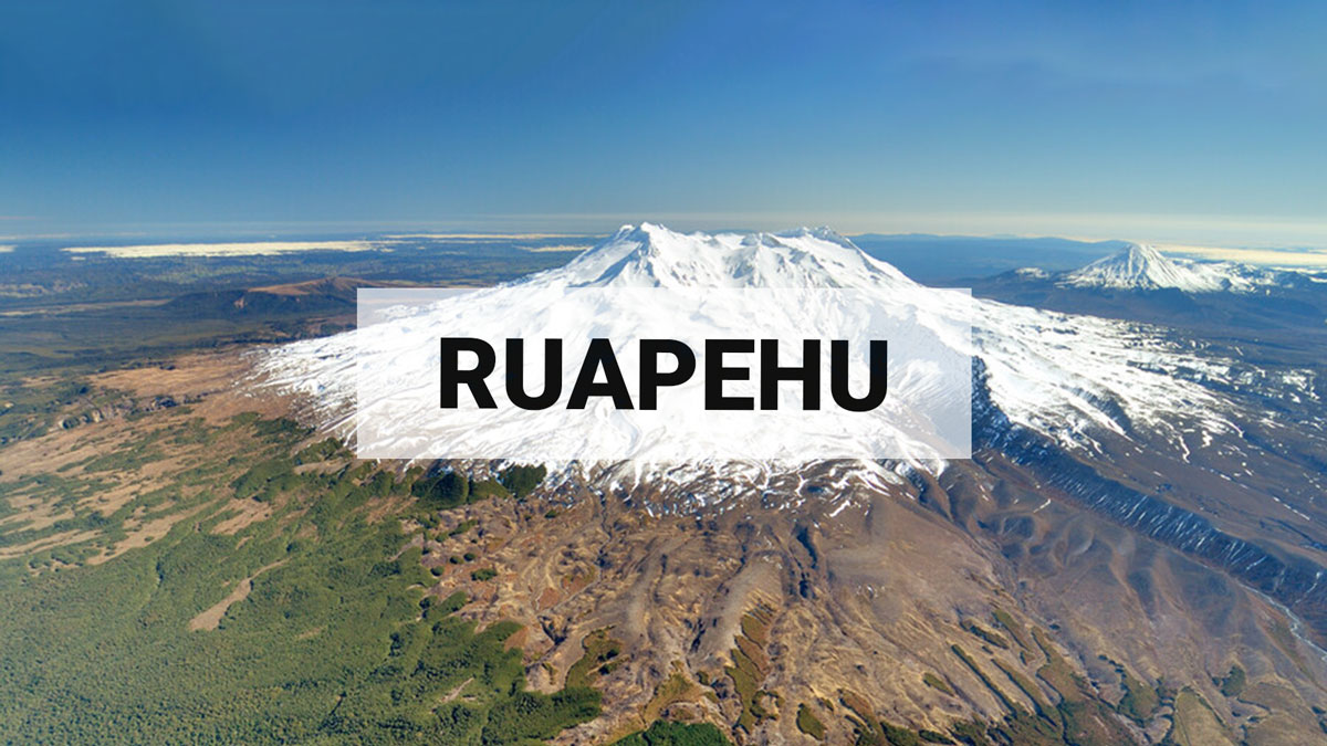
Te Wai ā-moe (Crater Lake) is cooling, volcanic unrest remains low for Mt Ruapehu. The Volcanic Alert Level remains at Level 1.
Te Wai ā-moe (Ruapehu Crater Lake) has slowly cooled from 32 °C to 21 °C since January 2023. Other monitoring indicators also remain within normal ranges and the level of volcanic unrest remains low. The Volcanic Alert Level remains at Level 1 and the Aviation Colour Code remains Green.
Since our January update (RUA–2023/01) the temperature of Te Wai ā-moe (Crater Lake) has declined from 32 °C to 21 °C (Figure 1). This is consistent with a slowly declining heat flow into the lake ranging 50-150 MW. In the short term, the lake level has fluctuated with episodes of snow melt and heavy rainfall and as usual, continues to flow into the Whangaehu River headwaters.
The level of volcanic tremor recorded by our seismic equipment has remained weak since January and very few earthquakes have been located beneath the volcano. Gas scanning equipment and gas flights have measured continuous, low-to-moderate levels of gas output during the past three months.
Water samples were collected from the lake most recently on April 6th, 2023. Analyses of fluids and gases in these samples show very small changes compared to the chemistry of samples from the past several months. This indicates interactions between the volcanic rocks, fluids, and gases in the hydrothermal system beneath the lake continue at low levels. Key chemical indicators suggest the temperature of the gas inputted into the lake has been steadily decreasing, consistent with the decreasing lake temperature.
The current low levels of volcanic tremor, the very small changes in lake chemistry, and a steady decline of the lake temperature are consistent with a low level of volcanic unrest at Mt Ruapehu. As a result, the Volcanic Alert Level remains at Level 1. The Aviation Colour Code remains Green.
Mt Ruapehu is an active volcano and has the potential to erupt with little or no warning when in a state of minor volcanic unrest.
Volcanic Alert Level 1 indicates the primary hazards are those expected during volcanic unrest: steam discharge, volcanic gas, earthquakes, landslides, and hydrothermal activity. While Volcanic Alert Level 1 is mostly associated with environmental hazards, potential for eruption hazards also exists and eruptions can still occur with little or no warning. Volcanic Alert Levels 3, 4 and 5 are reserved for eruptions with varying impact distances.
For information on access to the Mt Ruapehu area, please visit the Department of Conservation’s website on volcanic risk in Tongariro National Park and follow the DOC Tongariro Facebook page for further updates.
For information about responding to volcanic activity there are guidelines from the National Emergency Management Agency.
GNS Science and its National Geohazards Monitoring Centre continue to closely monitor Mt Ruapehu for further changes.
Ery Hughes (she/her)
Duty Volcanologist
Media Contact: 021 574 541 or media@gns.cri.nz

