Continued steam and gas plumes at Whakaari with minor volcanic ash content. Volcanic Alert Level remains at 2 and Aviation Colour Code remains Orange.
Whakaari / White Island is passively emitting weak-to-moderate steam and gas plumes. Occasionally the activity changes to contain volcanic ash in the plume. The Volcanic Alert Level remains at 2 and the Aviation Colour Code remains Orange.
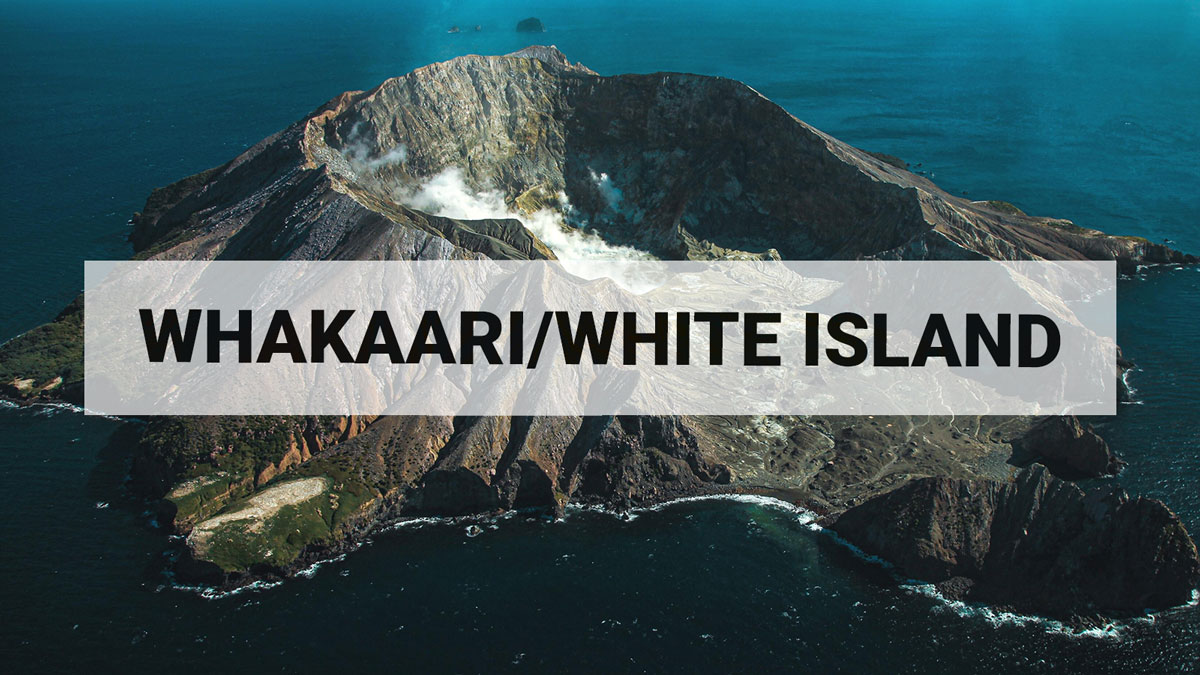
Activity at Whakaari / White Island is dominated by weak-to-moderate steam and gas plumes sometimes containing minor amounts of volcanic ash. The volcanic ash load in the plume is variable as seen on our webcams at Whakatāne and Te Kaha as well as on satellite imagery. This variability was well demonstrated during our monitoring flights on 14 January and webcam observations on 27 January.
Over the last couple of weeks, the emissions from the volcano have primarily been weak-to-moderate steam and gas plume emissions. We have frequently observed very minor volcanic ash associated with the plume. The recommencement of ash emission has been variable and not always detected. On 14 January we made an observation flight at midday and a gas flight later in the afternoon. Between the two flights ash emission recommenced (Figure 1). The New Zealand MetService have also detected small amounts of volcanic ash in satellite data on some days. The prevailing southerly wind is blowing the plume away from the mainland.

Image taken during flights on 14 January 2025, note the increase in ash content in second image.

Image taken during flight on 14 January 2025, note the increase in ash content.
The webcams at Whakatāne and Te Kaha also detected a minor event on Monday 27 January at 0710h. Current weather conditions play a significant part in how the activity looks and whether activity can be observed. A larger plume can sometimes be seen from the Bay of Plenty coast above and downwind of Whakaari when conditions are clear and/or wind strength is lighter. Similarly, activity can change at short notice and produce stronger steam and gas plumes which are seen from the coast. These plumes occasionally contain more volcanic ash.
Our gas flight on 14 January confirmed the amount of sulphur dioxide (SO2) flux released from Whakaari remains higher than during periods of less volcanic activity (e.g., at the start of 2024: Figure 2). We also occasionally have SO2 detections from Whakaari seen in the TROPOMI satellite data. Both the gas emissions and intermittent observations of minor amounts of volcanic ash in the plume are consistent with higher activity.

Flux of sulfur dioxide SO2 released from Whakaari White Island since the beginning of 2024 measured during our gas flights.
Data associated to image can be found here.
Without sensors on the island, our monitoring continues to rely on remote cameras, satellite imagery, and periodic observation and gas flights to monitor Whakaari.
Recent activity is consistent with moderate-heightened unrest and the Volcanic Alert Level therefore remains at Level 2. The presence of minor volcanic ash being emitted from the volcano means that the Aviation Colour Code remains Orange. These levels acknowledge the current level of activity but also reflect the degree of uncertainty about the level of unrest due to the current lack of consistent, usable real-time monitoring data. The level of volcanic activity could escalate back to levels seen in 2024 and the volcano can explosively erupt with little or no warning.
GNS Science’s Volcano Monitoring Group and National Geohazards Monitoring Centre will continue to closely monitor Whakaari/White Island for any changes in activity. We will provide further updates when information becomes available.
Further information about the Volcanic Alert Levels and what they mean can be found here.
For information about the impacts of the steam and gas plume should it reach the coast, follow the advice from:
Ery Hughes (she/her)
Duty Volcanologist
Media contact: 021 574541 or media@gns.cri.nz