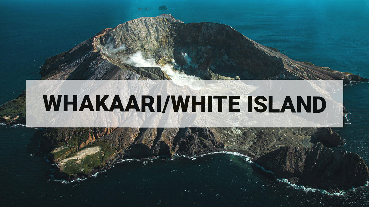
Volcanic Alert Bulletin WI-2014/01 - White Island (Whakaari)
White Island activity update; Volcanic Alert level remains at Level 1 (no change).
No further eruptive activity has occurred at White Island (Whakaari) since the moderate eruption on the evening of 11 October 2013. Volcano seismic activity remains at a low levels, while the gas flux has been at elevated levels. The Crater Lake continues to grow.
GNS Science staff have made several visits to the island in the last week to assess the status of the volcano, repair existing monitoring installations and evaluate new portable equipment. The volcano remains in an elevated state of unrest.
The water level of the Crater Lake continues to rise. Observations and photographs suggest it is about 5 m higher than late last year. Average daily sulphur dioxide gas flux has ranged from 133 to 924 tonnes per day. This remains elevated compared to levels before 2012 when daily averages were generally less than 300 tonnes per day.
Experiments with a recently-acquired thermal infra-red camera have enabled us to establish the lake surface temperature and the temperatures of several of the gas vents near the lava dome that was extruded in late 2012. This camera allows us to take images of the temperature of areas either from a helicopter or from the crater rim. The lake temperature ranged from 37 to 58 °C and averaged 51 to 52 °C. The temperature of the gas vents on the lava dome range from around 200 to 330 °C, and at one vent we have measured over 400 °C. These observations confirm hot volcanic gases are still passing through these vents.
Volcanologist Brad Scott said, “This new camera gives us some fantastic data on the heat coming from the volcano and allows us to build a better picture of the status of the activity.”
We have also tested a diode laser instrument to evaluate carbon monoxide and carbon dioxide gas emissions and a Fourier Transform Infra-Red (FTIR) spectrometer which can measure a very wide range of different gases. We are developing our capabilities in monitoring different gases so that we can better understand how the volcano behaves.

Thermal infra-red image taken on 15 January 2014, showing part of the Crater Lake (in the oval) and the area of the 2012 lava extrusion (in the large rectangular box). The small rectangle includes a hot fumarole on the southern edge of the Crater Lake.
White Island remains in a state of volcanic unrest. A range of eruptive activity can occur under these conditions and eruptions can start with little or no prior warning. Larger eruptions can eject mud and rocks and may impact the crater floor area. The Volcanic Alert Level remains at Level 1. Aviation Colour Code remains Green.
GNS Science is continuing to closely monitor the activity at White Island (and other New Zealand volcanoes) through the GeoNet project. Brad Scott Duty Volcanologist