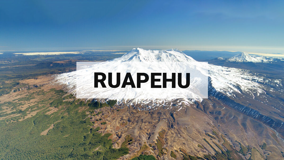
Minor volcanic unrest continues at Mt Ruapehu. Volcanic Alert Level remains at 1.
Updated: Fri Feb 28 2025 9:00 AM
Ruapehu’s Crater Lake remains at 20°C with a steady heat flux and low but continuous sulphur dioxide emissions. The Volcanic Alert Level remains at 1 and the Aviation Colour Code at Green.
Since our last update in December, temperatures at Te Wai ā-moe (Ruapehu Crater Lake) have hovered around 20 ºC. Based on our modelling of heat flux into the lake this corresponds to a continuous heat input of about 100 MW during most of the past two months. Heat input typically ranges from around 50 to over 3-400 MW when the lake is very hot (over 35 °C).
During the same time period, volcanic tremor has been low and we detected 9 earthquakes beneath the summit which is a typical number.
Sulphur dioxide emissions measured by our continuous gas emission detectors also show low-level but continuous gas flux of around 100 – 150 tonnes per day. High gas flux rates can exceed 500 tonnes per day. These observations are consistent with minor volcanic input from depth into the Crater Lake keeping it warm. The lake has not heated as much as it normally does during a heating cycle, however, the flow of gas through the lake implies that vents are not completely sealed.
Crater Lake water samples taken on 4 February 2025 show a dilution trend which is expected in summer as more meltwater enters the lake, along with the relatively low input of gas and concentrated fluids into the lake.
Our recent observations are consistent with the ongoing, low-level volcanic unrest at Ruapehu and, therefore the Volcanic Alert Level remains at 1. The Aviation Colour Code remains Green.
More information:
Mt Ruapehu is an active volcano and has the potential to erupt with little or no warning when in a state of minor volcanic unrest.
The Volcanic Alert Level reflects the current level of volcanic unrest. The Volcanic Alert Level should not be used to forecast future activity.
Volcanic Alert Level 1 indicates the primary hazards are those expected during volcanic unrest: steam discharge, volcanic gas, earthquakes, landslides, and hydrothermal activity. While Volcanic Alert Level 1 is mostly associated with environmental hazards, potential for eruption hazards also exists and eruptions can still occur with little or no warning. Volcanic Alert Levels 3, 4 and 5 are reserved for eruptions with varying impact distances.
For information on access to the Mt Ruapehu area, please visit the Department of Conservation’s website on volcanic risk in Tongariro National Park and follow the DOC Tongariro Facebook page for further updates.
For information about responding to volcanic activity there are guidelines from the National Emergency Management Agency
GNS Science and its National Geohazards Monitoring Centre continue to closely monitor Mt Ruapehu for further changes.
Yannik Behr
Duty Volcanologist
Media contact: 021 574 541 or media@gns.cri.nz